
Quick Answer
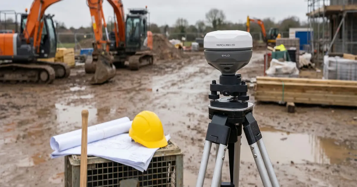
Emlid Reach is a family of RTK GNSS receivers built for surveying and drone mapping. The RS-series units are full base or rover receivers you set up on a pole or tripod. The RX-series is a smaller rover made for network RTK. The M-series are small modules you build into a drone or robot. Pick a model based on the role you need: base, rover, or onboard module.
What RTK GNSS Actually Does
Normal GPS in a phone can be off by several meters. That is fine for driving directions. It is not fine for mapping a property line or placing a drone image on the ground.
RTK stands for real-time kinematic. It uses two GNSS receivers instead of one. A base receiver sits at a known point and watches the same satellites as a rover. The base sends correction data to the rover. The rover uses that data to fix small errors caused by the atmosphere and the satellite signal path.
The result is a rover position accurate to a few centimeters, not meters. That level of accuracy is what land surveyors, construction crews, and drone mapping teams need.
The RS Series: Base and Rover Receivers
The RS-series receivers are the core of the Reach lineup. Each unit can work as a base or a rover, and you often buy two so one of each role is covered.
A base unit sits over a known point during the whole survey. It logs its own position and streams corrections out, either over radio or the internet. A rover unit is the one you carry around. You hold it on a survey pole, walk to each point you need, and record a position once the rover shows a fixed solution.
Different RS models track different sets of satellite signals. Newer models track more signal bands, which helps the receiver get a fixed position faster and hold it better under trees or near buildings. If you are comparing specific RS generations, read our breakdown of Reach RS4 vs RS3 vs RS2+ for the details that changed between them.
The RX Series: Compact Network RTK Rovers
The RX-series is built to be a rover only, and nothing else. It skips the base radio hardware and instead expects corrections from a network RTK service over the internet, using your phone as the data connection.
This makes the RX smaller, lighter, and simpler to learn. You do not need to set up a base at all. You just connect the rover to a correction network and start collecting points. It suits surveyors who already have access to a paid or public correction network in their area.
The M Series: Modules for Integration
The M-series is different from the other two. It is not a complete field unit. It is a small circuit board module meant to be built into another device, such as a mapping drone, a robot, or a custom base station.
Drone builders use M-series modules to add centimeter-level positioning to a drone's flight controller, which improves the accuracy of the geotags on every photo. This is useful for photogrammetry projects that need very tight accuracy without placing many ground control points. For a look at how a full receiver supports that kind of workflow, see our guide on using an RS-series receiver for drone mapping ground control.
Correction Methods: Radio, NTRIP and Networks
How the rover gets its corrections depends on your setup:
- LoRa radio: The base and rover talk directly using a long-range radio link. No internet needed, but you are limited by radio range and line of sight.
- NTRIP over the internet: The base (or a network of fixed stations) streams corrections over the internet using the NTRIP protocol. This works well when both units have a data connection.
- Network RTK: A paid or government-run network of permanent base stations covers a whole region. You subscribe or connect for free, and skip setting up your own base entirely.
Most survey teams start with a base-and-rover kit and add network RTK later if it is available and reliable in their area.
Battery, Build and Field Use
Reach receivers are built to survive a normal work day outdoors. They are weather sealed against rain and dust, and most run for a full day on their internal battery. Field crews usually mount the rover on a survey pole with a bracket, connect a phone or tablet by Bluetooth, and run the Emlid Flow app to log points. If you are new to that app, our guide to getting started with Emlid Flow walks through the first project setup.
Matching a Model to Your Job
Use this simple rule of thumb when choosing:
| If you need to... | Consider |
|---|---|
| Set up your own base and rover, work off-grid | An RS-series pair |
| Use an existing network RTK service only | An RX-series rover |
| Add RTK positioning inside a drone or robot | An M-series module |
| Get the highest accuracy geotags on drone photos | An RS or M unit feeding the flight controller |