
RTK & Mapping
Centimeter-level positioning for drone mapping and surveying, with RTK, PPK and Emlid receivers.
RTK & Mapping Articles
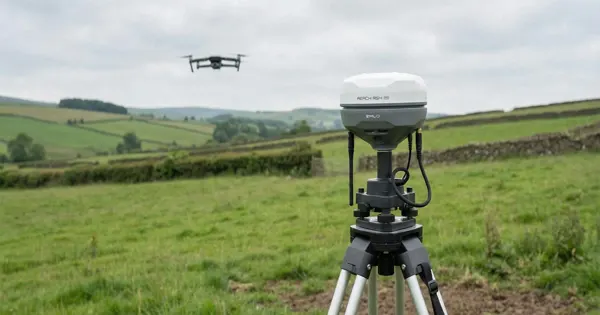
RTK vs PPK for Drone Mapping: Which Is Better?
RTK and PPK both give drone maps centimeter accuracy. Compare how each works, link dropouts, workflow time, cost, and when to still use GCPs.
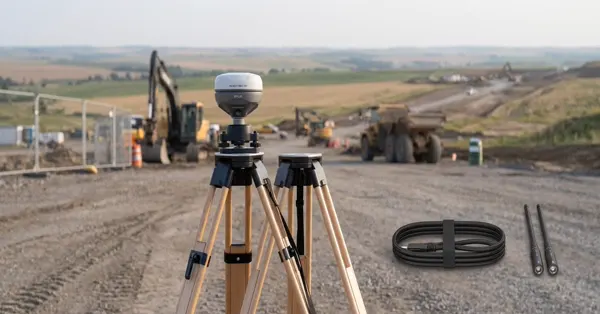
Emlid Reach RX vs RX2: Which Rover to Buy?
Compare the Emlid Reach RX and RX2 network RTK rovers: satellite tracking, pole and phone workflow, and which surveyors each model suits best.
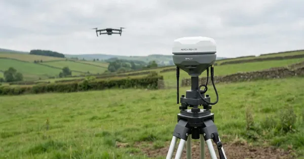
Using Reach RS4 Pro for Drone Mapping Ground Control
How to use an Emlid Reach RS4 Pro receiver to collect ground control points and checkpoints for accurate drone mapping and photogrammetry.
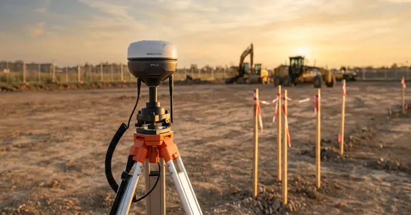
Emlid Reach RS4 vs RS3 vs RS2+: What Changed?
Compare Emlid Reach RS4, RS3 and RS2+ receivers: tilt compensation, satellite tracking, radio options and battery, to help you pick or upgrade.
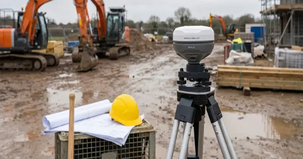
Emlid Reach Receivers: Which Model Fits Your Job?
A plain guide to the Emlid Reach lineup: RS receivers, RX rovers and M modules, what each role does, and how to pick one for your mapping job.
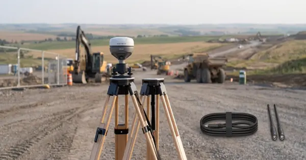
Emlid Base and Rover Setup: RTK Step by Step
Step-by-step guide to setting up an Emlid Reach base and rover for RTK surveying, covering base placement, corrections, and a fixed solution.
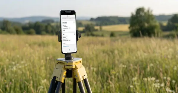
Emlid Flow App: Getting Started with Surveying
A beginner's walkthrough of the Emlid Flow app: creating a project, setting a coordinate system, connecting a receiver, and collecting points.
No exact match
Try a different word, or browse a topic above.